![]()

|
|
|
|
|
|
|
|
Weminuche Wilderness &
GPS![]()
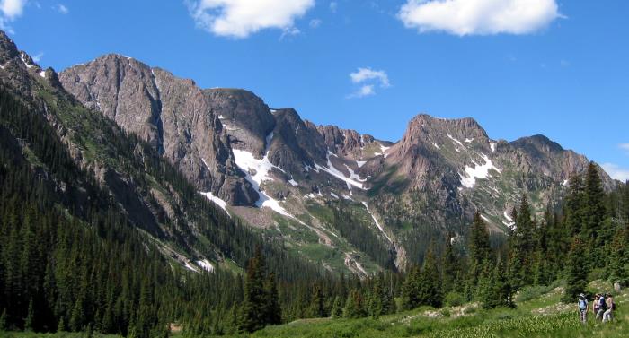
View from Chicago Basin, looking
South towards Columbine Pass![]()
- Screenshot of MapSource Topo showing the area from Chicago Basin to Columbine Pass at full map resolution.
- Screenshot of MapSource Topo showing the area from Needle Creek to Elk Creek, from the Animas River to Valecetto Creek, at moderate resolution.
- MapSource ".GDB" file with tracks and waypoints from this hike (ZIP compressed.)